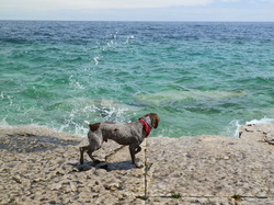
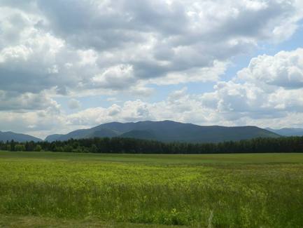
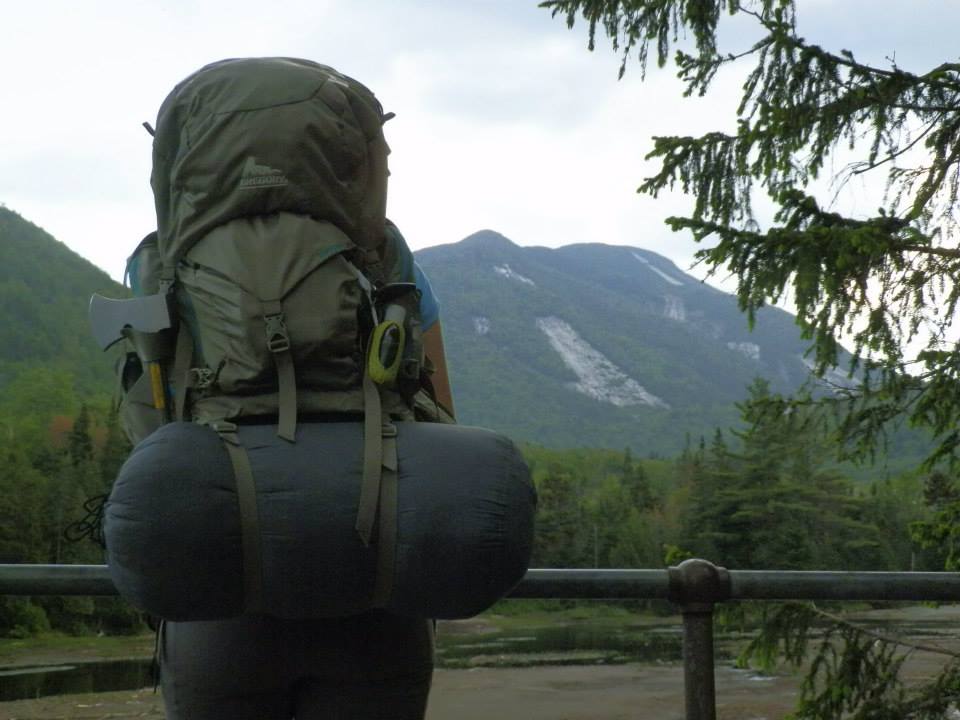
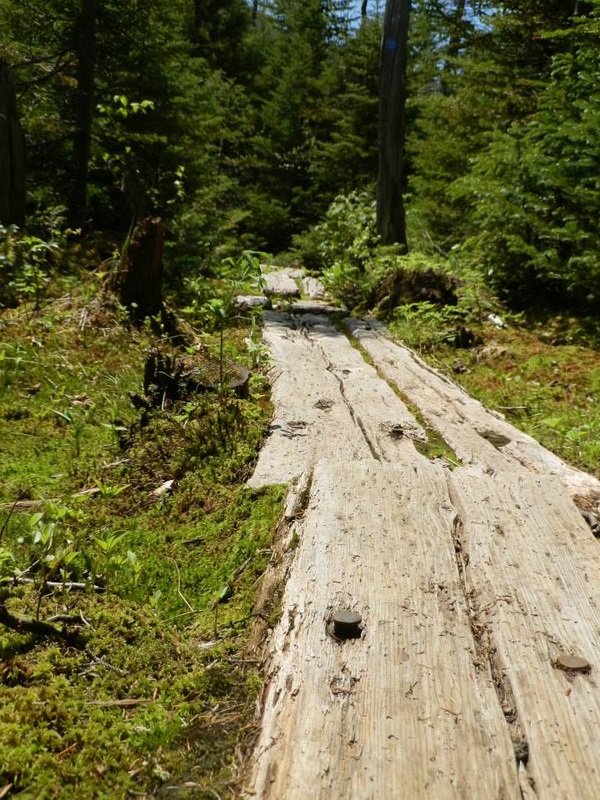
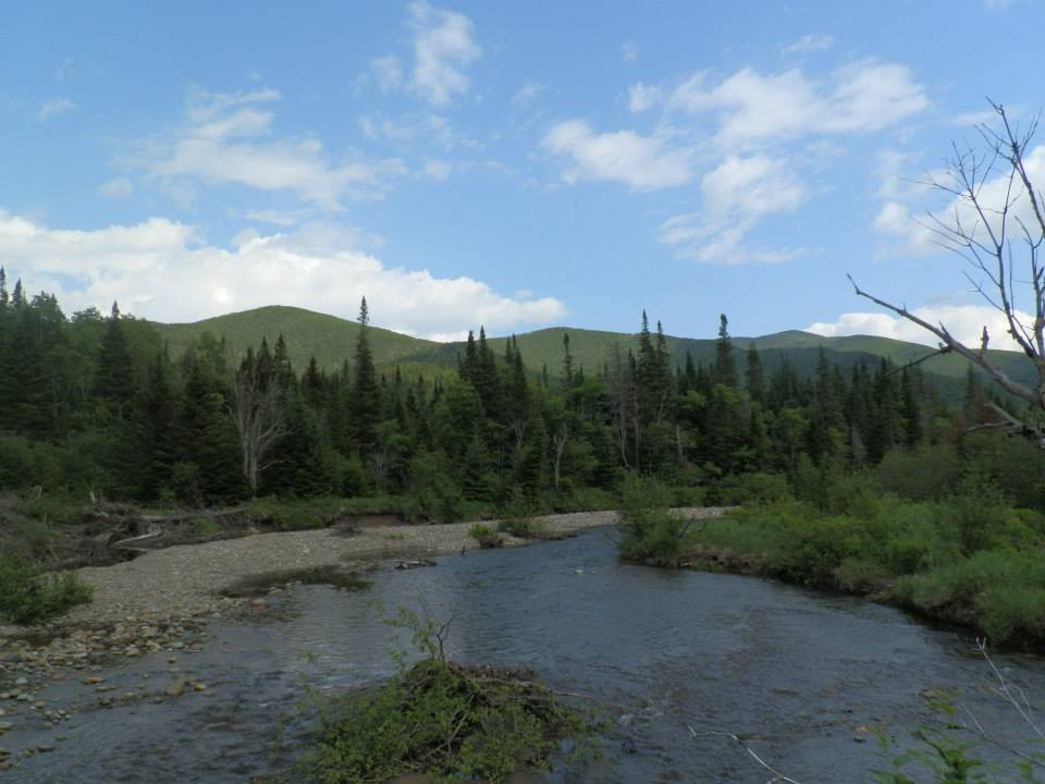
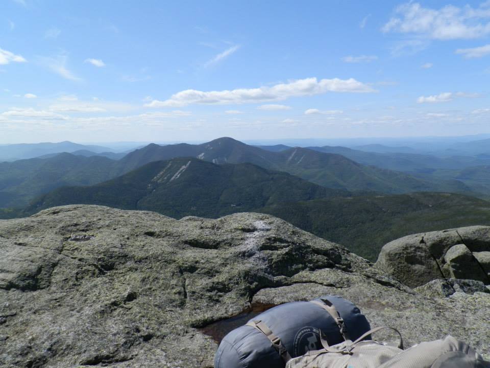
Happy Canada Day! I celebrated my first Canada Day by spending the weekend traversing Bruce Peninsula National Park. It sure was packed, but everyone was quite friendly, and there weren't too many people to fully enjoy the scenery and trails. The Grotto is one of the main attractions of this area of the park, however, its parking lot was always full, which gave us the perfect opportunity for a beautiful, but difficult, hike. We parked at halfway log dump (we are still debating the origins of this name....) and hiked to Georgian Bay before turning west and taking the Bruce trail along the coastline. There were several nice boulders, which we stopped and climbed. I tackled my first two boulders, but I admit, they were easy ones! Most of the time, though, I spent enjoying the views. I have never seen water so clear! Unfortunately it is much too cold to swim in! Some brave souls were wading in near the Grotto, though. The trail overall was well-maintained (most likely due to heavy traffic) and most of it not too difficult, though there are some steep climbs. Jesse sure was exhausted when we got done each day, and spent the rest of his evenings sleeping in the tent! The trail wound through forests and cliffs with spectacular views and along the rock beach surrounding Georgian Bay. Tobemory was a very cute, but expensive, town near the campgrounds. We stayed at Land's End, which was very nice for campground standards. We got a spot on the back edge of the campgrounds, so we had plenty of trees and a bit of privacy. Even a young black bear came for a visit! The bathrooms and showers were surprisingly well-kept and clean, and the staff was very attentive to the 11pm quiet time. I would love to be able to spend more time in this area in the future, it is truly one of Ontario's most spectacular locales.
Well, now this hike was a doozy. We severely overestimated our abilities on this one. Initially, we planned to hike three mountains, Mts Skylight, Gray, and Marcy. Mt. Marcy is one of the main attractions in this region of the Adirondacks, as it is the tallest peak in New York, at 5344 ft. The original route we planned was an 18 mile loop (horizontal distance, of course). Once the vertical distance was taken into account, we were a bit overwhelmed. It was definitely a challenging hike, but with a few tweaks, our trip could be an absolutely perfect adventure next time. We brought our packs the whole way (Do NOT do this! I suggest you pack just a day pack and head back to a lean-to afterwards so there is no need for a tent) which slowed us down quite a bit. Negatives aside, it really was a beautiful trip with perfect backpacking weather. We parked at the Adirondack Loj trailhead (off Hwy 73). There was plenty of parking, but it was $10/day. Be sure to stop in the information center to pay this fee, as well as to grab a bear canister and a map! The trailhead starts right off of lot 1, where there may be a ranger by the register. Sign in and make your way down the Van Hoevenberg Trail to Marcy Dam. This is a quick, easy part of the hike. There are plenty of lean-tos and a few campsites that you can stay at here. I would recommend you set up camp here and hike out to the mountains and then come back before evening. We stayed in lean-to #4, which had a great view of the water. We had a bit of a run-in with enforcement, as we did not know you could not make a fire in the high peaks area, so be sure to pack plenty of food that does not require cooking, and bring a filter for water purification. We stayed the night in the lean-to, had a nice warm breakfast, and even spotted a collared cow moose while doing dishes! In the morning, we headed out towards the mountains. We crossed the dam, then took the trail towards Avalanche Pass, turning off before the pass and heading towards Lake Arnold. The stretch between this turn-off and Lake Arnold is called "Mercy Mile," and it sure got that name for a reason. It was steep and exhausting, but this was only the beginning of the ascent. Once you get near Lake Arnold, the trees start to thin as you are at a much higher altitude. From Lake Arnold, you'll head onto the Feldspar Brook Trail for a few miles before turning off towards Mt. Marcy and Four Corners. By this time, we were already quite exhausted, so the thought of climbing three mountains and returning to the campsite by nightfall was daunting to say the least. We opted to just climb Mt. Marcy, as it had the best view and we would have to go to the summit to get back to the campsite anyways. The turnoff for Gray Peak is just before Four Corners, if you'd like to add that into your trip. Mt. Skylight and Mt. Marcy turnoffs are both at Four Corners, which is just past the serenely beautiful Lake Tear of the Clouds. We took the trail to Mt. Marcy, following trail markers to the summit. It is extremely steep, but the view is completely worth it. Take care to avoid the sensitive alpine plants in the area, which are marked by rocks and ropes on the summit. From the top, it is a much quicker descent, but tough on the joints! Take your time and be careful! The last big stop on this trip was Indian Falls, where you can sit on top or get the view from below the falls. From there, it is a quick hike back to Marcy Dam, right back the way you came. Once you head back towards Avalanche Pass, you will turn towards Mercy Mile again and end up back at Marcy Dam. We spent two nights and three day in this beautiful wilderness, and though we were sore for a few days, it was completely worth it! |
foot notes.A guide to my hikes throughout North America Archives
June 2016
Categories |